Making a Dash For It
Two moms and a 30-mile race to catch the last boat out of Glacier National Park.
Abigail froze ahead of me on the trail, listening to talus clattering and scanning through the thick mist for a goat or grizzly. It had been five hours since we’d passed another human, and noting the overturned rocks and bear diggings all over, we called out constantly into the cloud that surrounded us—we were determined not to surprise any wildlife.
It was a human voice and rhythmic clanking that surprised us instead: a trail construction crew that seemed just as surprised to see us. From the looks of the overgrown trail, this section didn’t get much traffic—especially compared to the scene at the trailhead we’d started from, possibly Montana’s most famous.
I had tucked the keys to my ’05 Outback under the wheel well at 6:30 am, the Logan Pass parking lot in Glacier National Park quickly filling up around us. I wasn’t mad that other campers at the Avalanche Campground had woken us before our alarm. We’d driven in a steady stream of cars through the dark up to the pass. Jogging across the parking lot to the Highline Trailhead, it felt like we’d already accomplished so much just to get to the start, but several things still had to fall into place for us to actually pull off this adventure. Some of them were—somewhat—in our control. Others were not.
A few weeks before, I had messaged my friend Abigail about planning some sort of adventure in Glacier. Aside from a little camping and biking Going to the Sun Road, I’d barely seen any of the park. Abigail, on the other hand, is a veritable tour guide. As we traced lines on the map, it seemed there weren’t many trails Abigail hadn’t already explored. Her dad is a bear ranger in Glacier, and she grew up spending summers in the park. She’d even worked on a trail crew herself. But as we discussed mileage and logistics, one line on the map still stood out: She’d never done The Dash.
From the famous Highline Trail starting at Logan Pass, The Dash follows the most obvious line north to Goat Haunt at the bottom of Waterton Lake and the border with Canada. The idea is to thru-hike/run the 30-mile section in time to catch the last tour boat leaving Goat Haunt for Watertown Townsite. For rangers living and working in that area of the park, Waterton is the closest “town” with restaurants and even a movie theater. Hearing her parents’ ranger friends talk about it, Abigail had been thinking about the Dash for years—but despite its seductive simplicity on the map, the route is a feat of logistics in real life.
For example, you can’t park at the start at Logan Pass overnight without a backcountry permit. So you either need a way to get back to your car from Waterton at the end of the day (it’s over an hour and a half drive) or you need someone to move your car. You also have to cover the 30 miles of trail in time to catch the boat if you want to avoid tacking on an extra nine miles from Goat Haunt into Waterton at the end. And don’t forget the border crossing in there, too.
Why pick something so logistically difficult? Abigail and I both have 3-year-olds and I wanted to maximize limited time away. Discussing the to-do list beforehand, Abigail and I joked that we could just go to the spa for a moms’ getaway instead. Our compromise: Reserving a hotel room in Waterton instead of camping at the end. Two other logistical loose ends remained: Where should we stay the night before? And, how would we get a ride back?
Snagging a campsite that opened up thanks to a last-minute cancellation at the Avalanche Campground, we were able to spend the night as close as possible to the trailhead and avoid an extra, extra early wakeup. In the past, I’m sure we would have asked our partners to shuttle us, offering to return the favor the next weekend or something. But neither of us wanted to add “road trip with an international border crossing” to our partners’ solo parenting weekend. So I reached out to Mountain Chief Cab Company.
With only a Facebook page for a web presence and folksy communication style, it appeared to be the only option. When I asked if they could shuttle us from Waterton back to Logan Pass, they said they’d do one better: Drive our car from Logan Pass to Waterton for us so it would be there when we finished. It seemed too good to be true—but worth the gamble. Snapping our vests and leaving the Subaru and keys behind, I crossed my fingers everything would go smoothly and trotted down the trail.
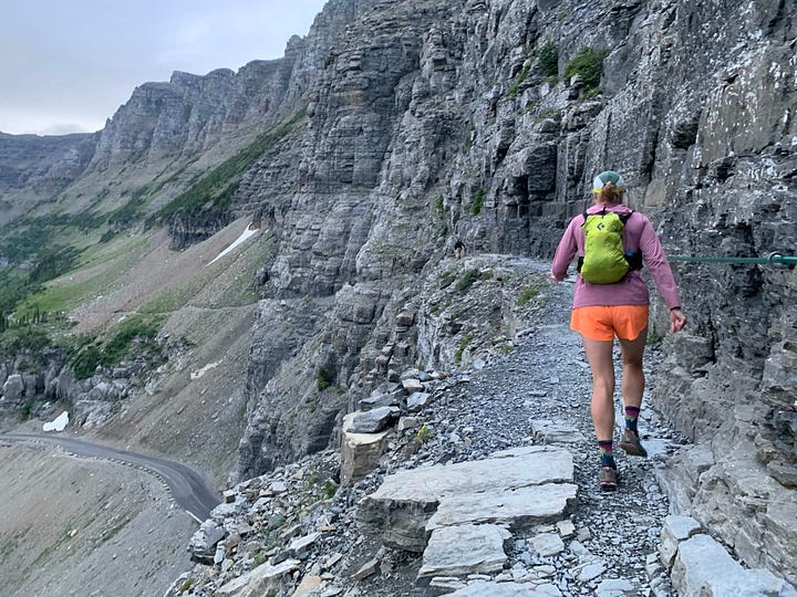
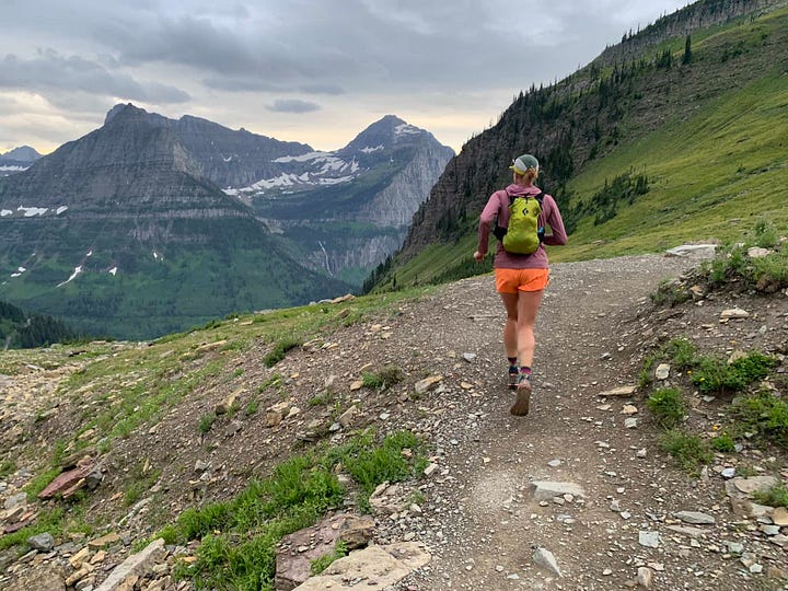
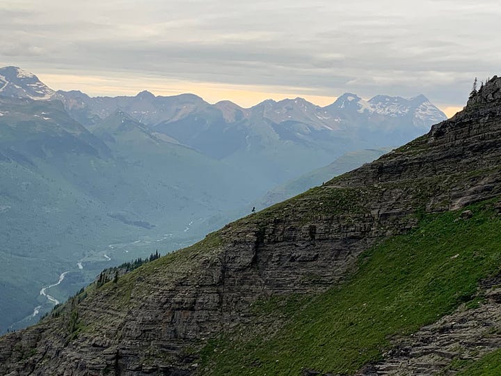
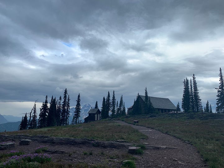
I wasn’t surprised by the number of hiking parties we passed in the first 7.5 miles to the storied Granite Park Chalet—it’s a super iconic stretch of trail and pretty chill, elevation-wise—but I was impressed by how early some of them must have gotten up to make it that far along by the time we were passing them. Reaching the chalet around 8:30 am, we found it quiet, with an educational glacier talk going on at one end of the dining room and a family playing a card game at the other. I hadn’t noticed how cool it felt outside until we stepped back out the door after munching a snack by the cozy woodstove.
Clutching my trekking poles, I hollered as we turned the corner from the chalet. This was grizzly country, and leaving behind the well trodden first section, we drew up our pace out of caution, raising our voices at every turn, rise or dip in the trail. The last forecast we’d seen showed part sun, minimal chance of rain—but behind us, Mount Gould and Logan Pass were starting to look like Mordor.
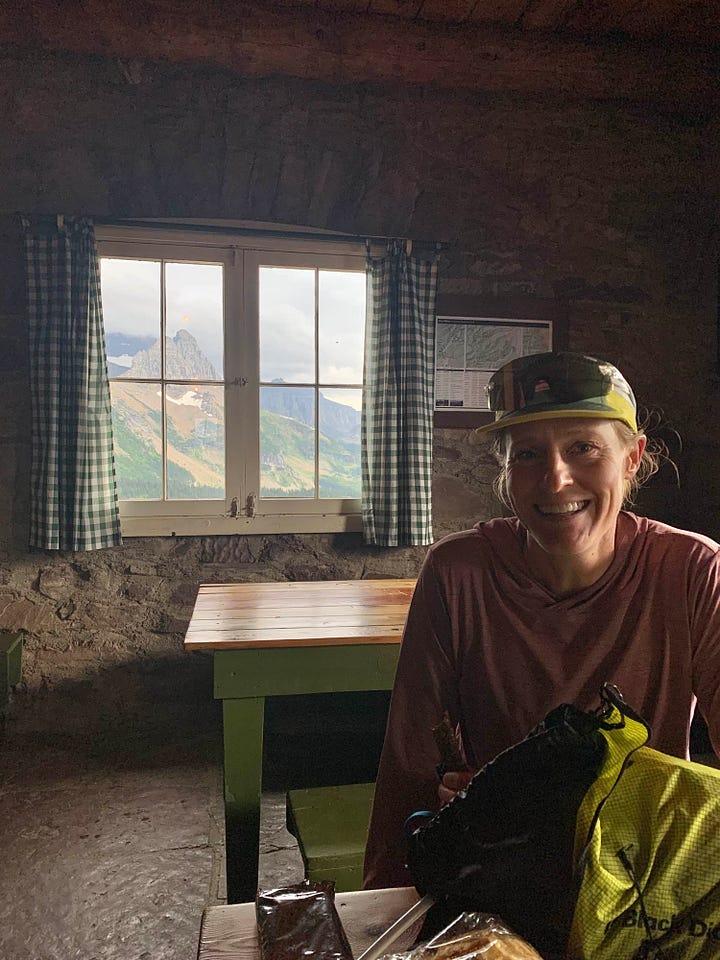
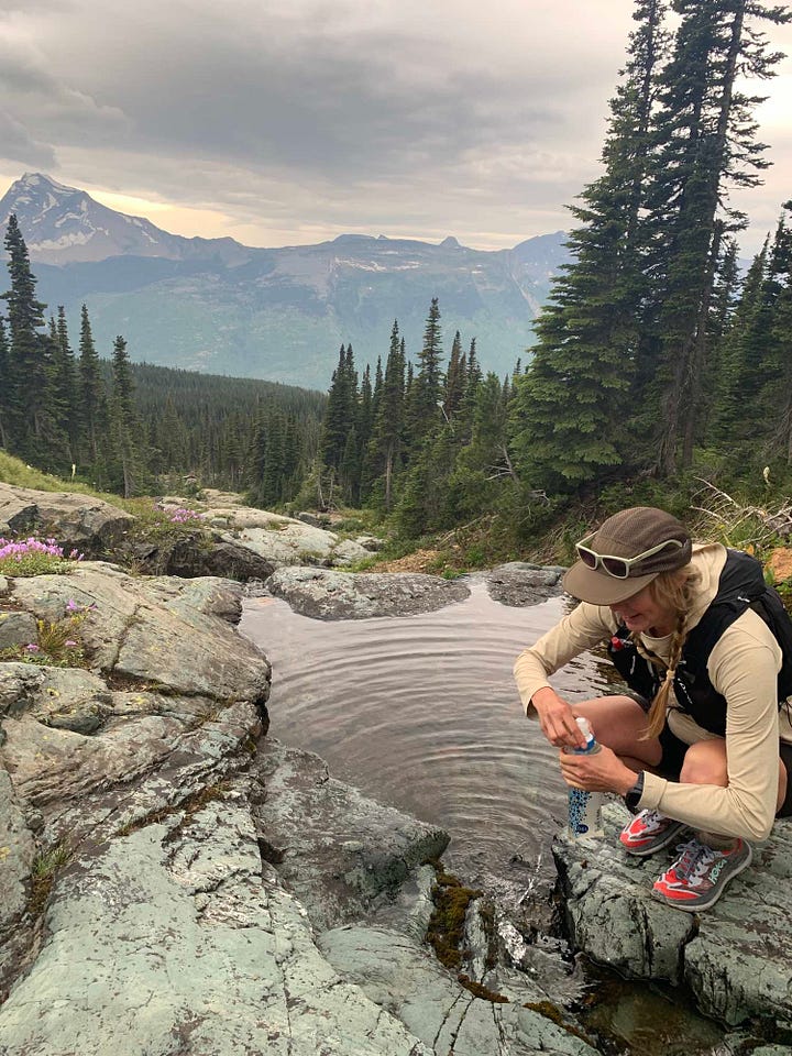
At the chalet, we learned there was a party of runners ahead of us who’d stayed the night and left earlier. It felt reassuring to know someone had already passed through ahead of us that morning, but we still wound up running and hiking almost five hours before seeing another human—the aforementioned trail crew.
Leaving behind the enormous valley that cradles the high-traffic Going to the Sun Road, I began to grasp the enormity of the landscape. The clouds lowered, obstructing the view, but I still glimpsed an epic silver strand of waterfall across the valley, plunging down the cliff. We were surrounded by enormity, continually revealed and hidden as the mists moved around us.
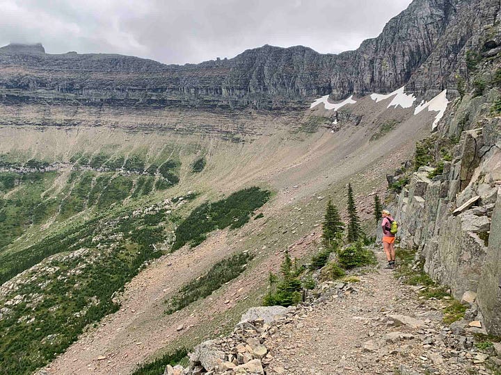
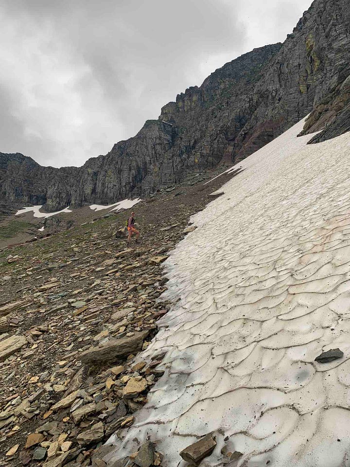
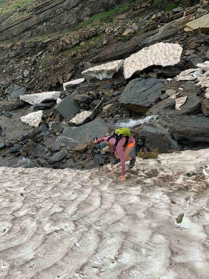
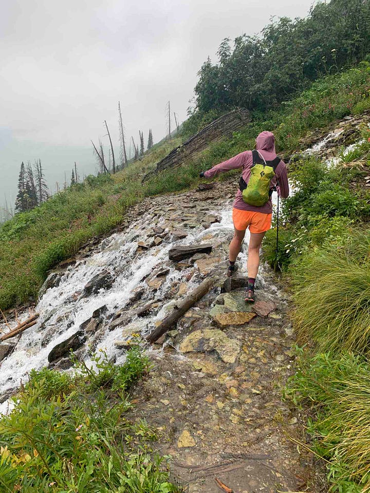
We were thankful for trekking poles crossing the remnants of the Ahern Drift and a small snow bridge at Cattle Queen as a chilly drizzle set in. I figured the extra time it took to navigate and chop steps across the snow field was made up by the fact we were skipping any sit-down snack breaks because of the cold rain. And from the beta I’d collected beforehand, I estimated these higher-elevation sections with rocky trails and lots of views (or what we expected would be lots of views) would take us longer than the last several miles into Goat Haunt. The one video I’d seen on YouTube of the last section showed people running at a fast clip, and I expected we’d be able to make up quite a bit of time moving more quickly through what I guessed would be easy, less scenic terrain.
I was wrong.
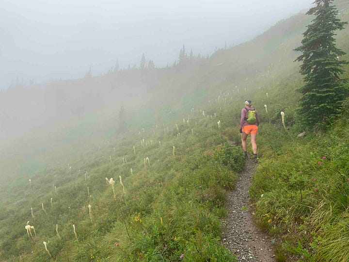
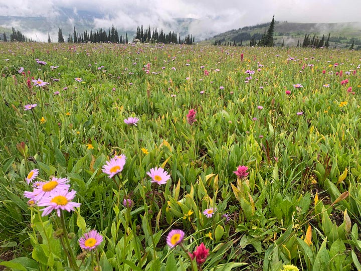
Passing through the 50 Mountain Backcountry Campsite before 2 pm, we rejoiced at bits of blue sky and hints of sun peeking through the clouds—it was all downhill from there. But the expressions on the first hiking parties we passed should have clued us in to what lay ahead. The first group heading in the opposite direction—three young men clad head to toe in Gore-Tex—appeared thoroughly demoralized. The mood of every other uphill hiker we passed on their way up from Waterton Lake seemed similar.
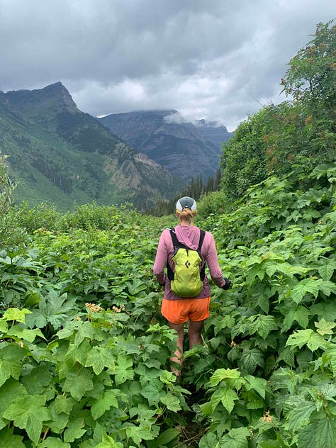
With two hours left to catch the last boat of the day, the trails we’d expected to be galloping down turned out to be the most difficult of the day. Wading through overgrown thimbleberry and stinging nettle up to the waist—occasionally up to the neck—our feet obscured from view, we plunged through squishy mud that sucked at our shoes, trying not to trip on unseen rocks. There wasn’t much to do except keep moving as steadily as we could. It was torture to pass the mutant-sized huckleberries covering the bushes we passed—and despite our constant shouting, we surprised one black bear who’d been gorging on the glorious berries.
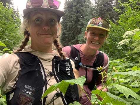
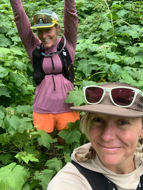
Passing Kootenai Lakes Campground, the trail finally cleared a bit and we put pedal to the metal, clocking a 9:35 split at mile 30. Popping out of the forest to see the M.V. International still at the dock, we held the sprint pace until we were handing over our credit card and assuring the captain we had our passports.
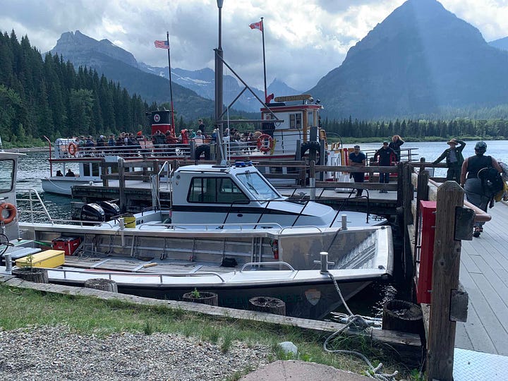
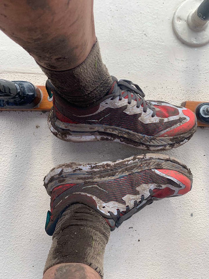
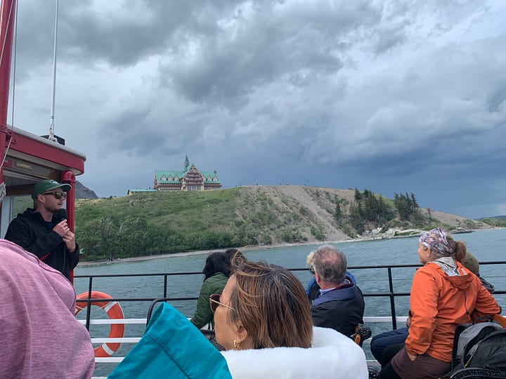
At $65 per person, the Waterton Shoreline sightseeing cruise is no dirtbag special—but devouring the potato chip crumbs from my vest as the water sped by, I enjoyed the interpretive presentation and relished sitting still. When the Waterton Townsite appeared at the end of the lake, one building loomed above the rest: the quaint historic Prince of Wales Hotel, perched on the hill above town. Looking down at my mud-bathed shoes and legs, I imagined what it would feel like to tromp through the door into the fancy lobby with that incredible lake view—because we’d found a good rate and splurged on a room there. It felt totally incongruous to the day we’d had. But before we could get to a hot pizza and soft bed, we still had to go through customs and find out if my car made it.
At the dock, the cruise company handed us a landline portable phone, and after reading our passport numbers to the border patrol agent on the other end, we passed it to the other hikers who’d caught the boat, too. I turned my phone off airplane mode to find a text from Mountain Chief Cab Company, saying the parking lot at the boat landing was full so they’d left the Outback at the visitor center down the block where we quickly found it. Delighted to peel my mud-crusted socks off, I draped them respectfully on the outside of the car and slid into my Crocs for a pizza dinner.
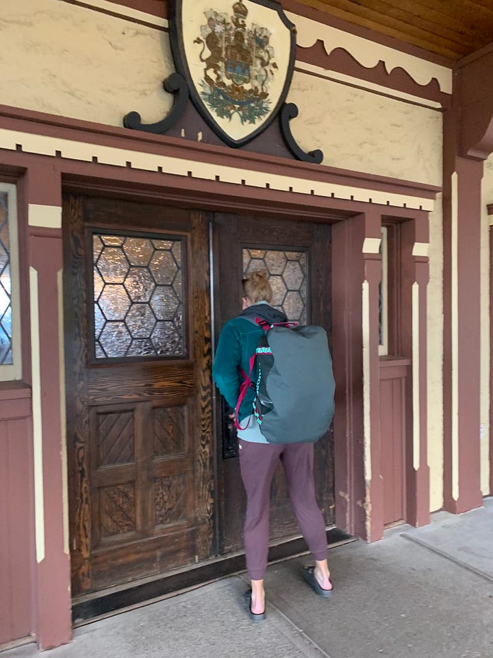
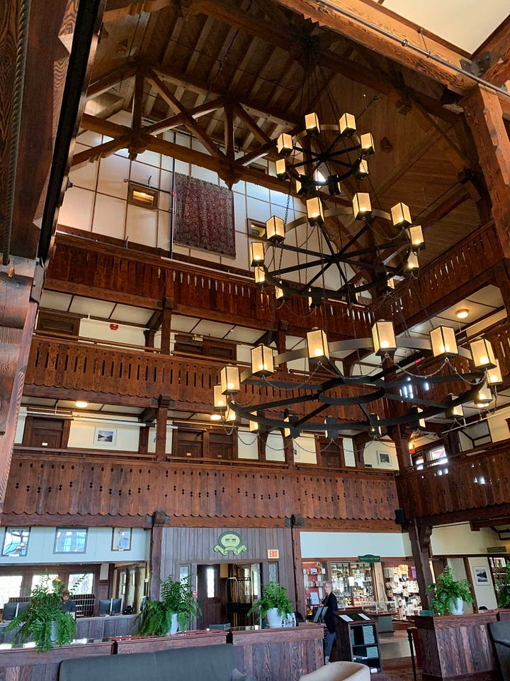
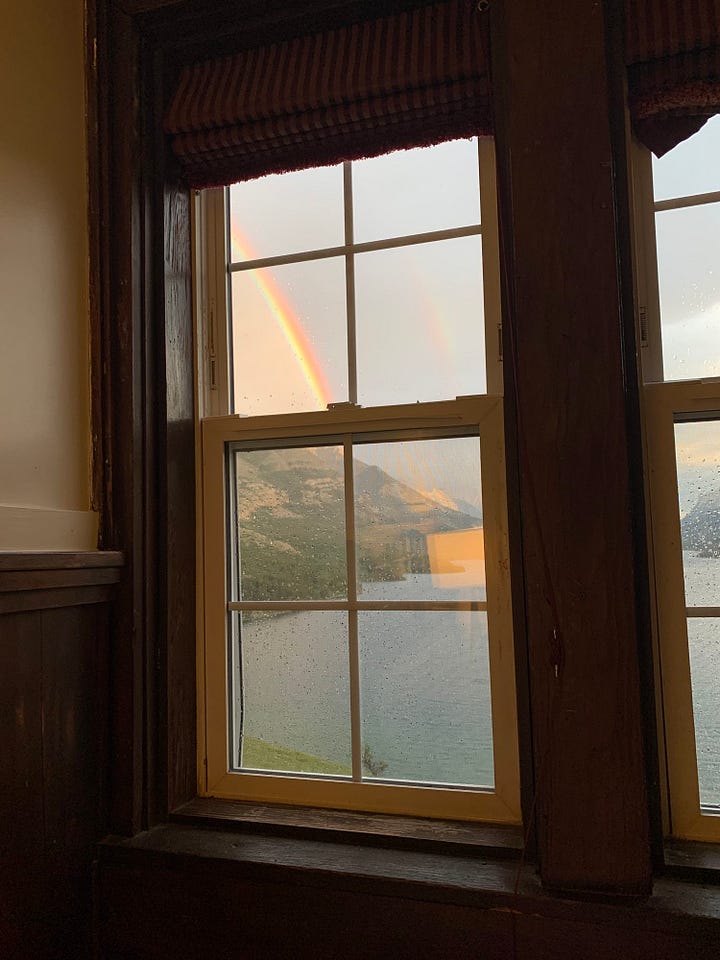
The Prince of Wales was just as charming in person as I’d hoped, blending antique aesthetics with modern comfort. After a steamy shower and catching up with our families at home, we crashed into comfy beds, complete with a view. And in the morning, before a monster breakfast in town, we paused to sip coffee in the cozy lobby chairs facing the enormous windows overlooking the lake. It was no spa weekend for us two moms, but close enough.
###
And like a good toddler mom, I had to take this photo on the way home to send to my little dude:


This is such a fun and incredible adventure!! Thanks for sharing!
I love this story, and it makes me want to go to Glacier. It also reminds me of a trek my husband and I did a decade ago on the Routeburn in NZ. All of the guides said you had to go with a guide and take two or even three days, and backpack and stay in a hut along the way. But it was only 20 miles! So we ran/hiked it in a day, no problem. The only issue was the car—how to get it from the start near Glenorchy to the finish in Milford Sound. I found a local trail runner who had a small casual business, mostly through word of mouth, transporting cars from one point to the other, then he ran the trail back to his home. His service worked perfectly for us, just like it sounds the Mountain Chief Cab Co did for you. Then when I blogged about our point-to-point outing and linked to this guy's service, he got so much more business—my one blog post brought him customers for years to come. So the same will probably happen for the car service you used!